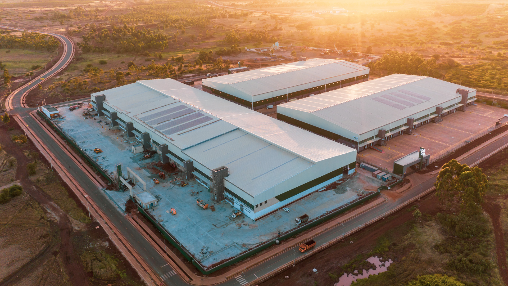
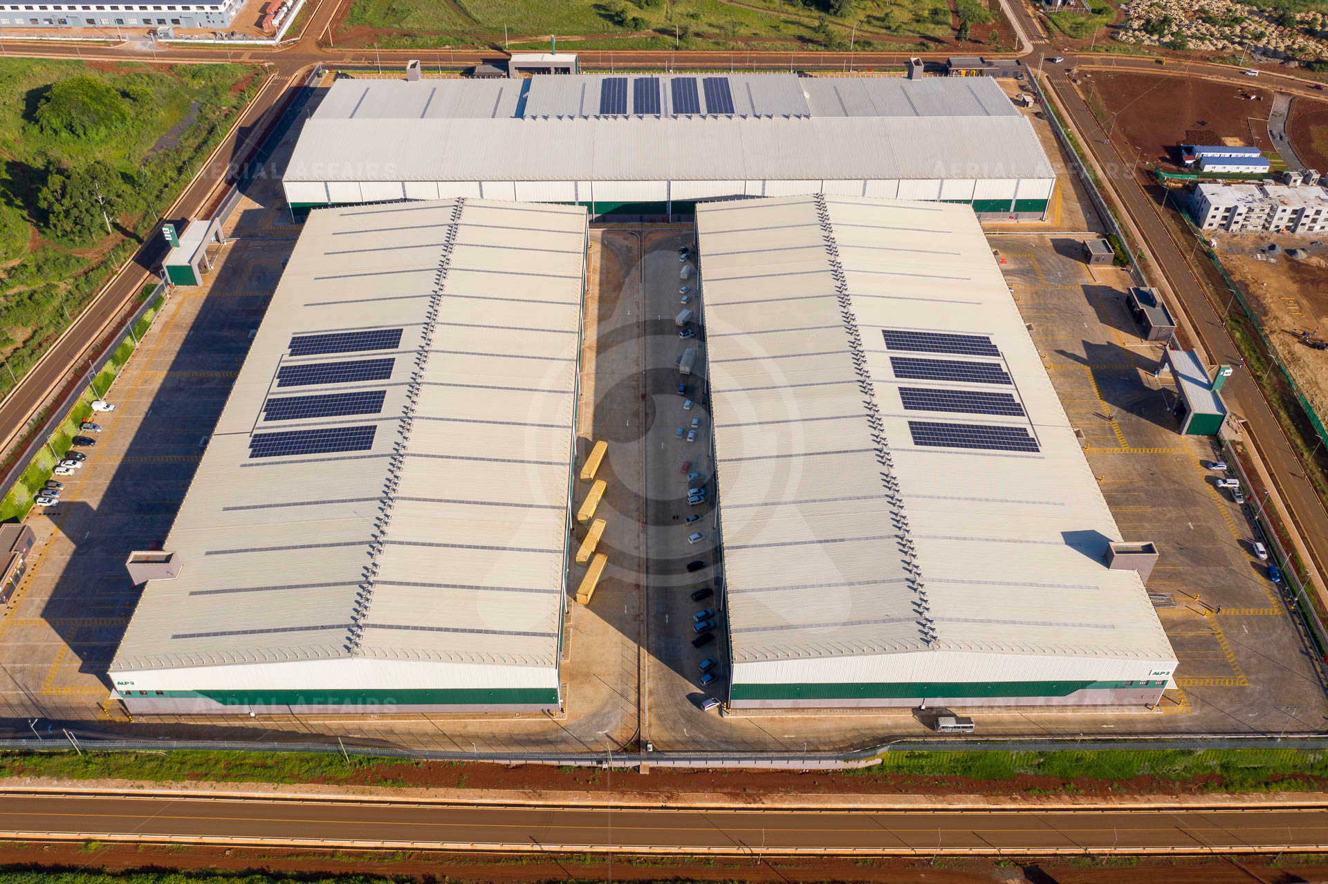
01 / Port & logistics
Aerial Affairs
Unmanned Systems. Intelligent Sensing. Applied Innovation.
Drone operations, mapping and inspection for infrastructure, industry and the environment. Based in Kenya.
Capabilities
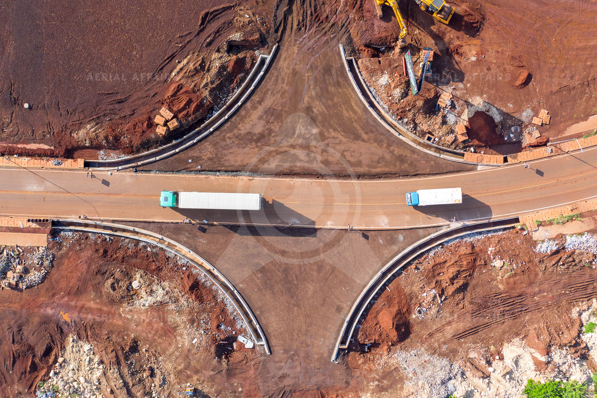
Planned and flown by our own field teams.
Learn more →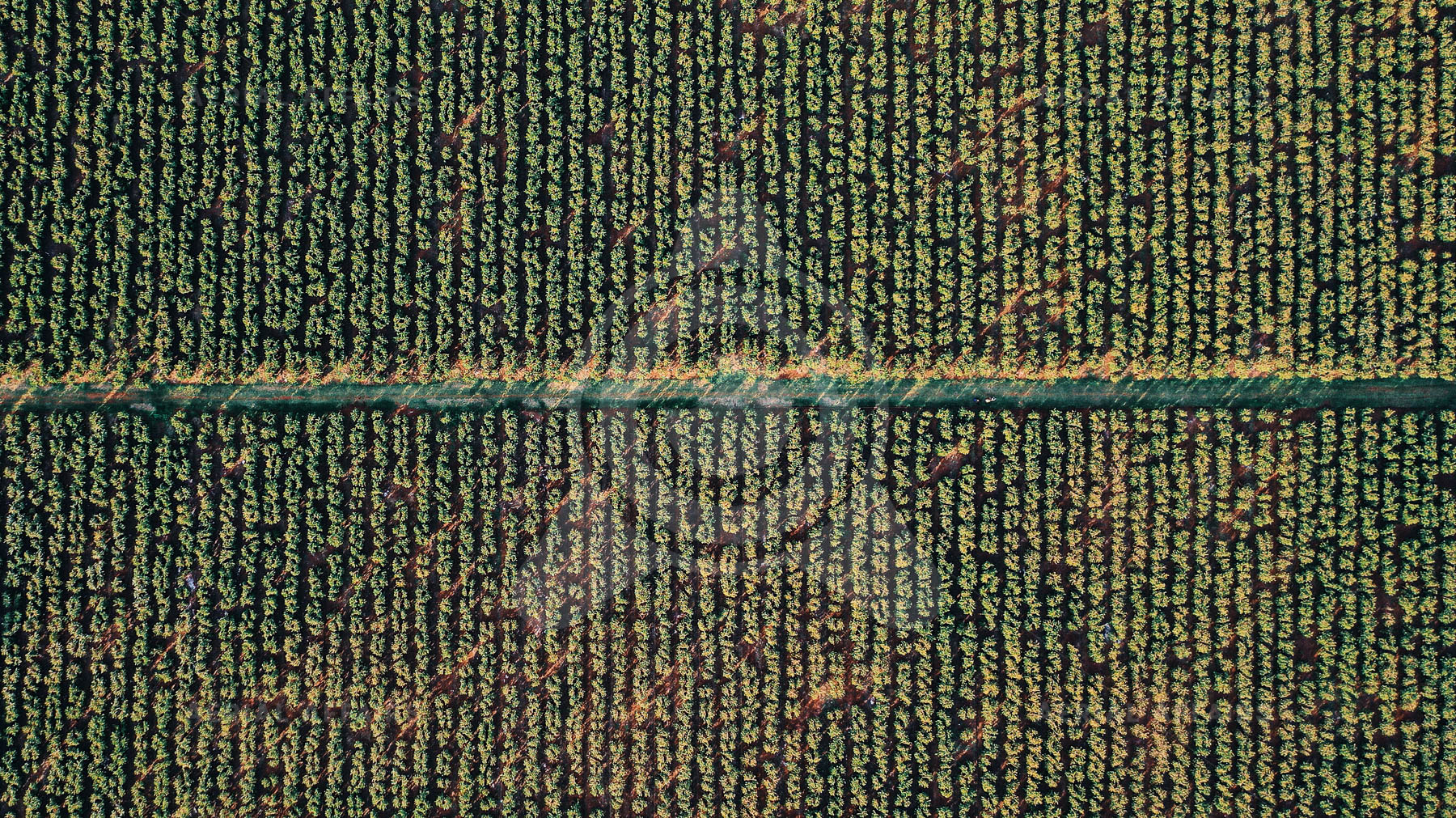
Photogrammetry, maps, 3D models and change detection.
Learn more →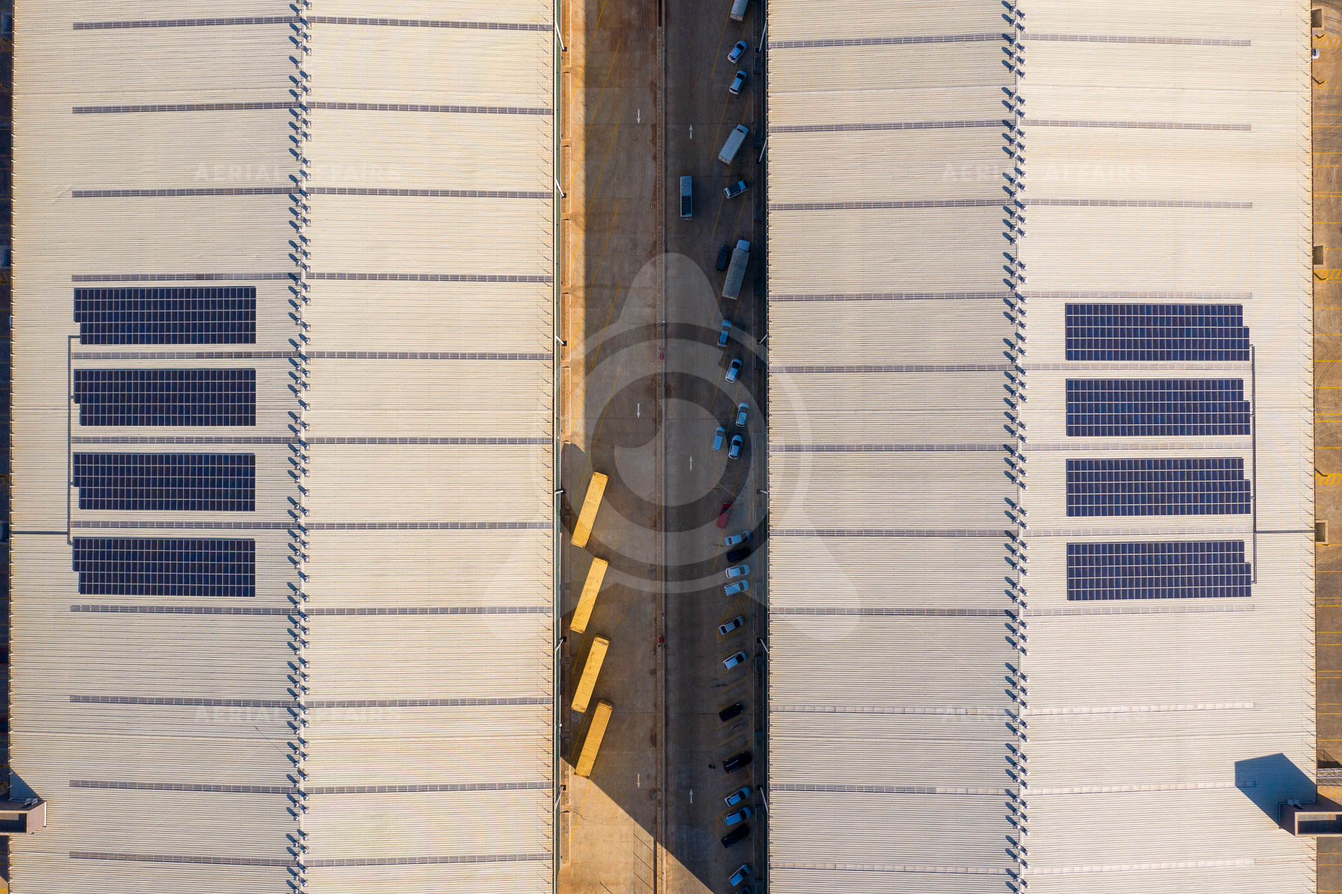
Evaluating and integrating drones, ground robots and sensors.
Learn more →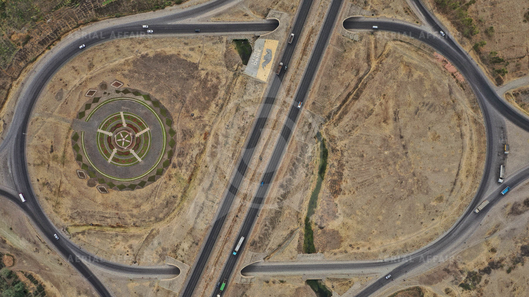
Feasibility studies, prototypes and joint research.
Learn more →above.africa: the print store
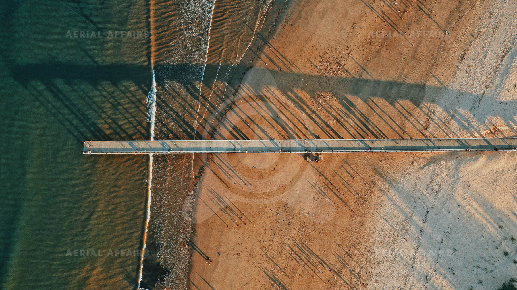
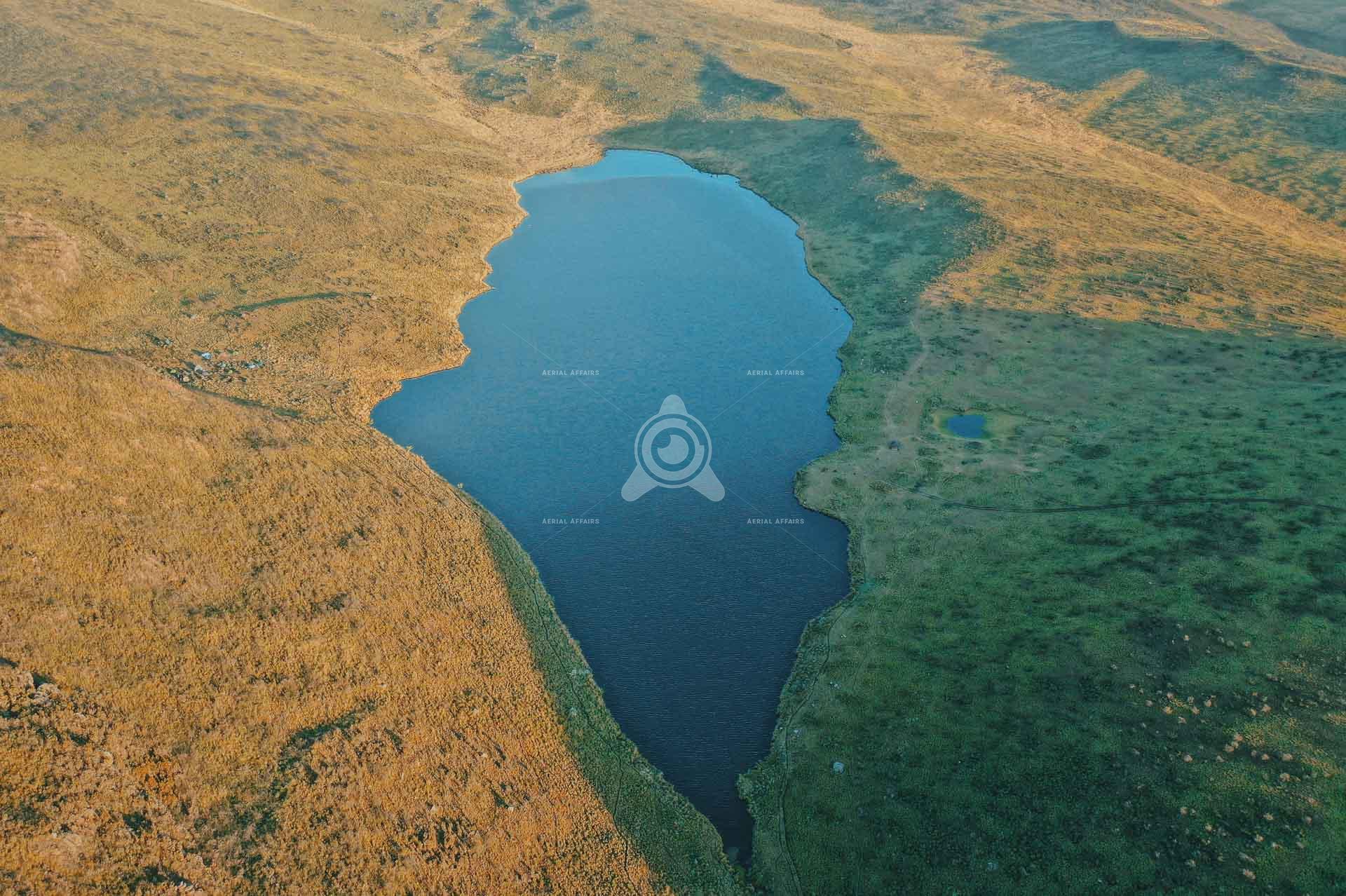
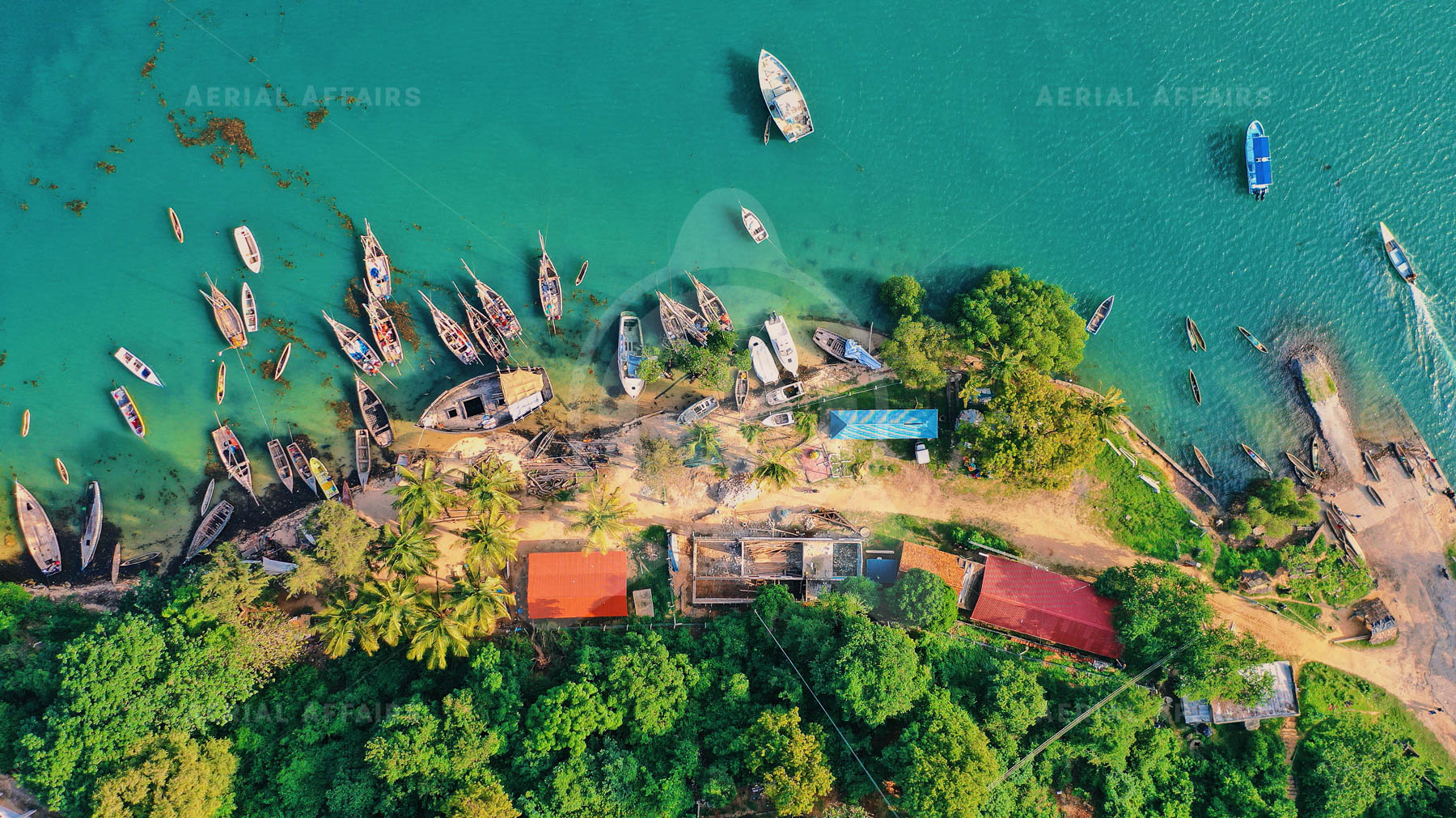
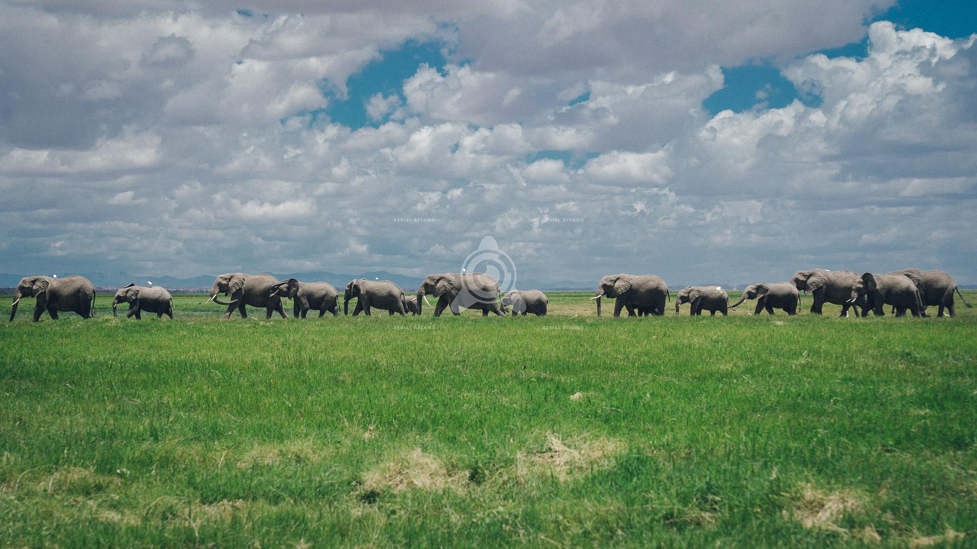
Kenya's coastlines, cities and wild country, photographed from above by our pilots and printed for your walls.








Showreel
Approach
Now
Data capture, mapping, inspection and monitoring.
Building
Turning that data into maps, asset records and reports.
Next
Testing unmanned platforms, automation and new sensors.
Industries

Projects
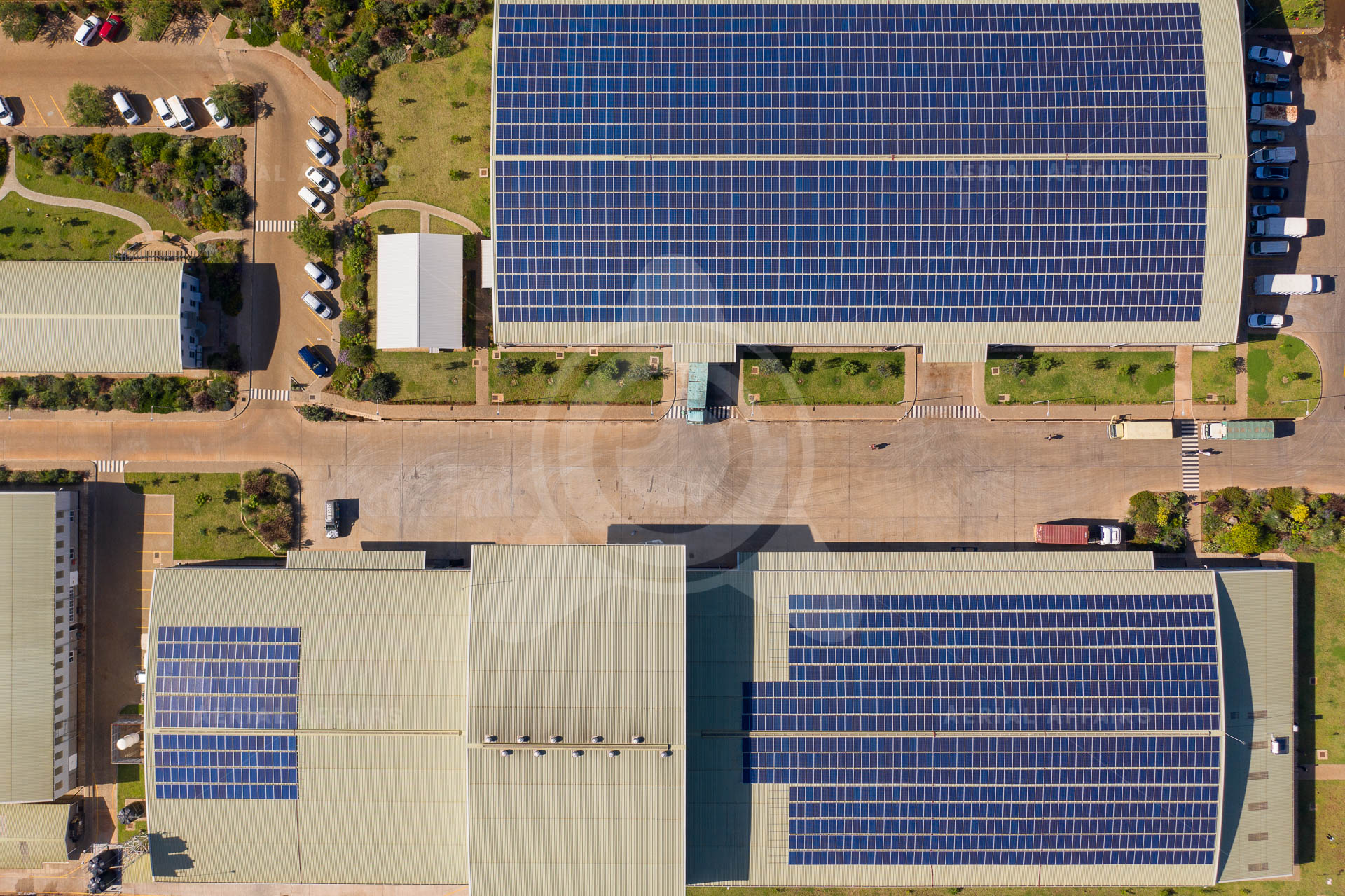
Construction, infrastructure and landscapes in Kenya and the region.
Innovation
Our main research programme combines drone capture, mapping, asset records and assisted defect detection into one repeatable process.
We are also developing environmental monitoring.
Offices
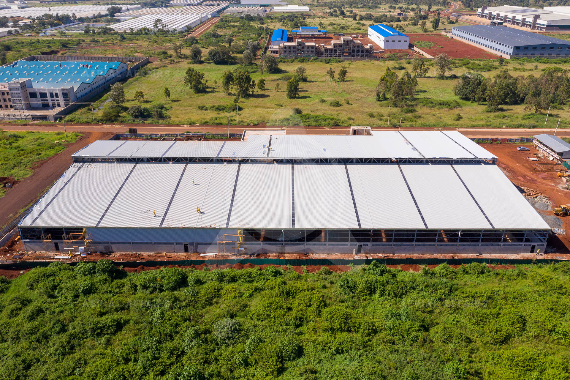
Head office and field operations. Delivery, procurement and aviation compliance.
Technology partner. Software, data tools and prototyping.

Contact
Projects, tenders, partnerships and research. Tell us what you need.