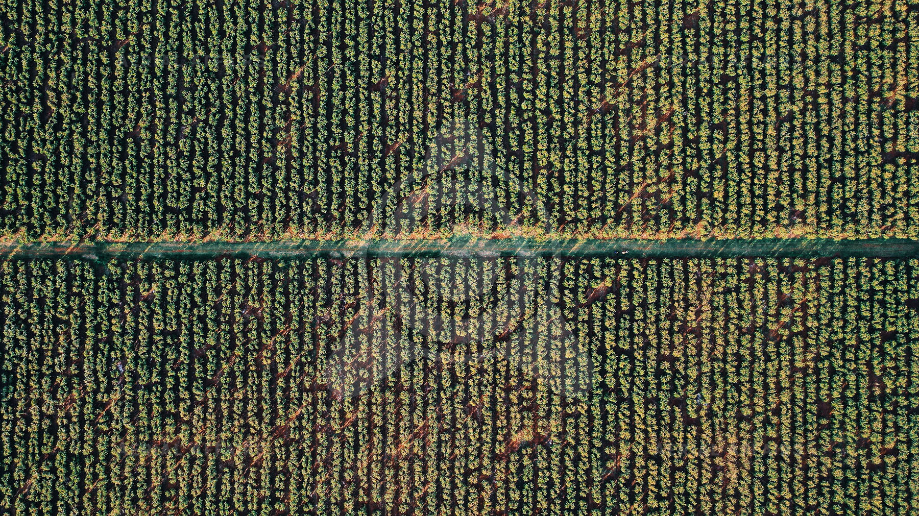
02 / Geospatial Intelligence
Processing aerial data into maps, models and asset records.
Overview
We process drone data into georeferenced maps, models and reports for planning, asset management and monitoring.
Deliverables
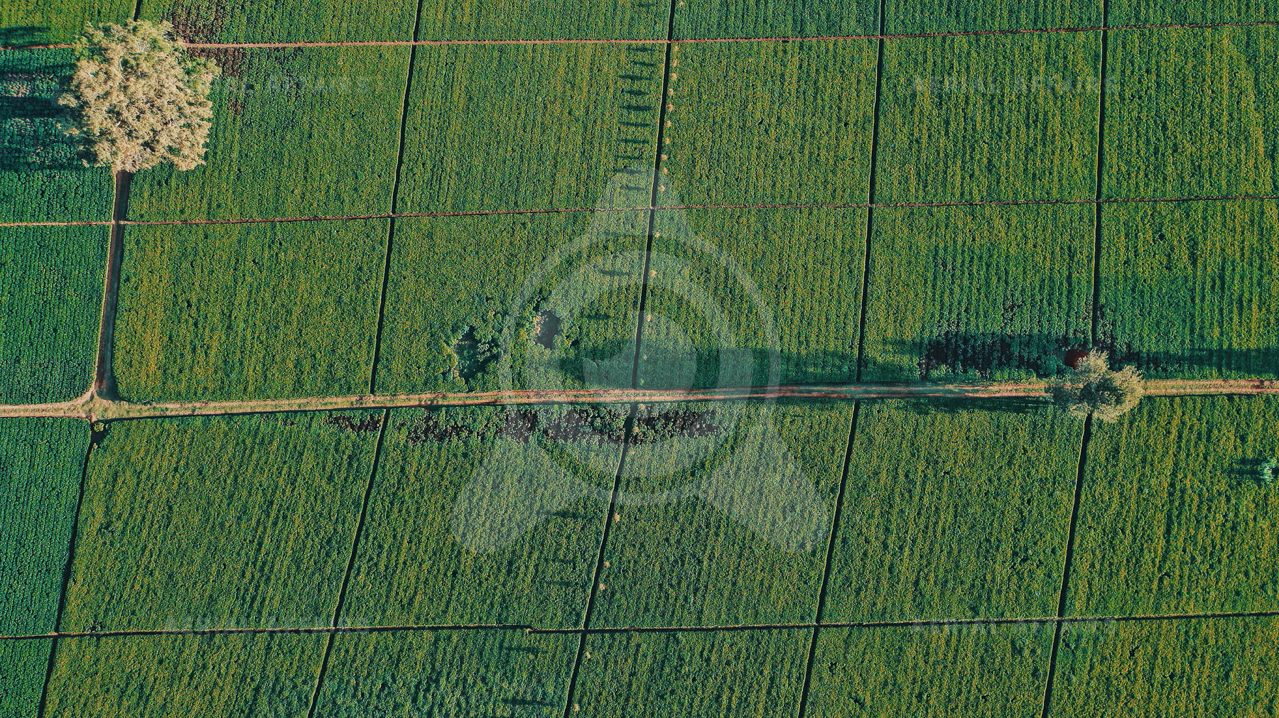
Orthomosaics, surface models and 3D measurements.
Land use, area and volume measurement.
Asset records linked to imagery and location.
Repeat surveys compared over time.
Status
Developing
Next step
Send us your requirements and we will reply with a method, deliverables and timeline.