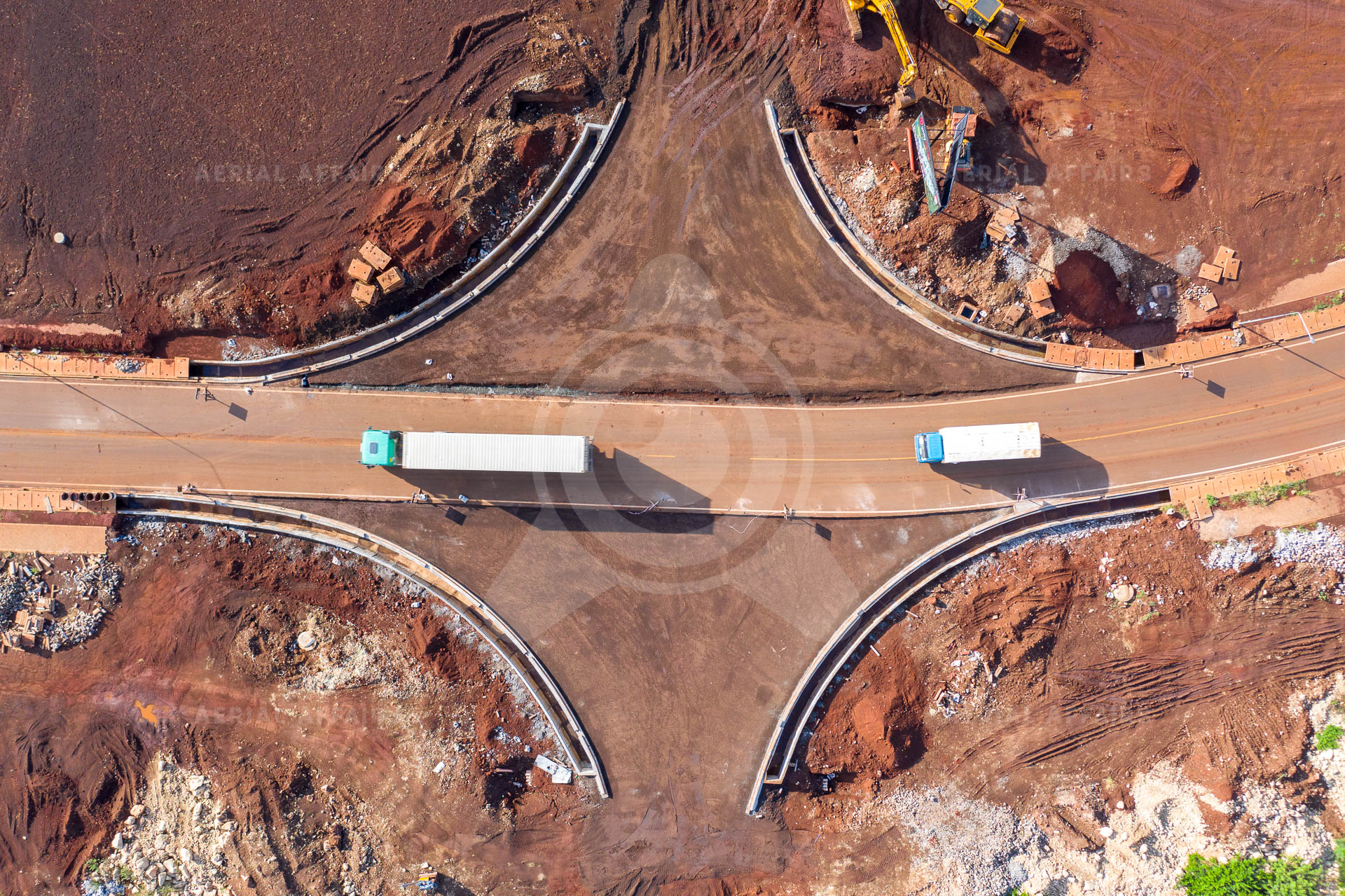
01 / Aerial Operations
Drone imaging, mapping, site documentation and inspection.
Overview
We fly for construction, infrastructure, real estate and environmental clients. Our teams hold the aviation permits and insurance that institutional clients require.
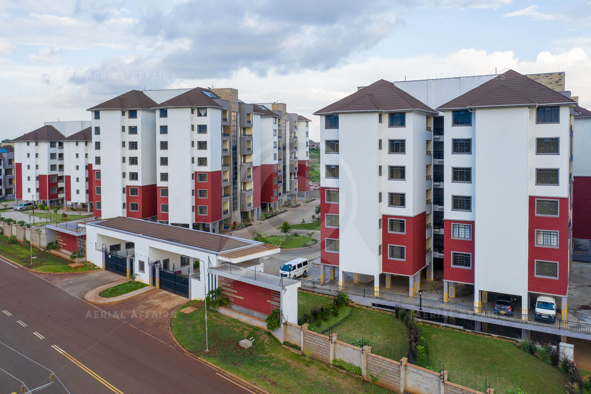
Deliverables
Photos and video for records and reporting.
Data capture for orthomosaics, terrain and site models.
Regular progress records for construction sites.
Visual inspection of structures and roofs without working at height.
Status
Established
Next step
Send us your requirements and we will reply with a method, deliverables and timeline.