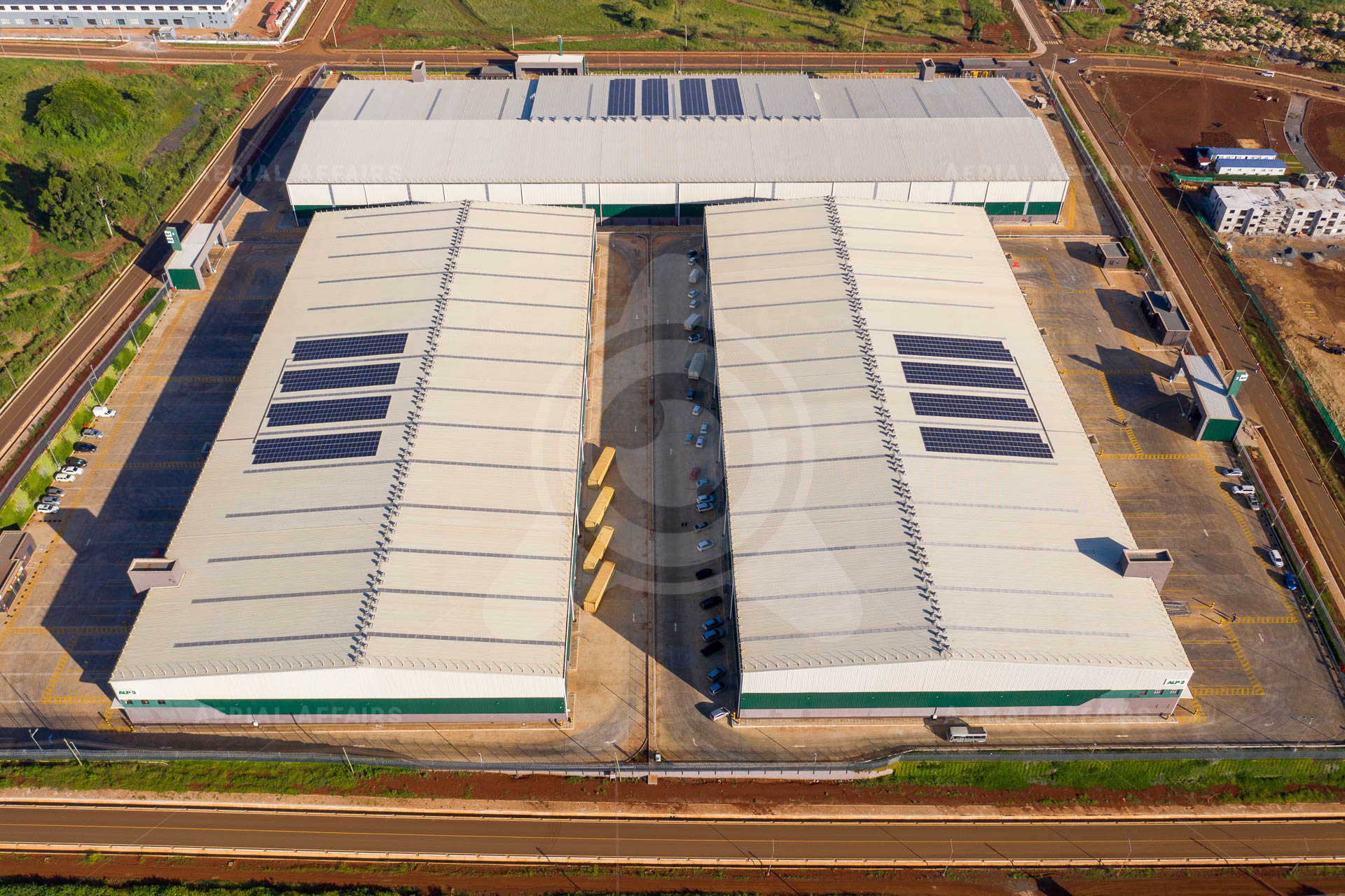
Capabilities
Each capability is marked with how established it is.
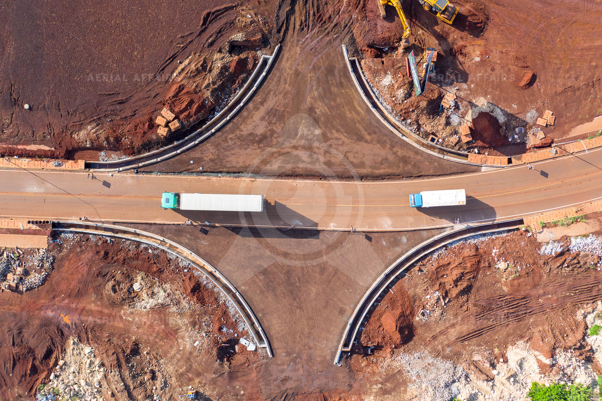
Planned and flown by our own field teams.
Learn more →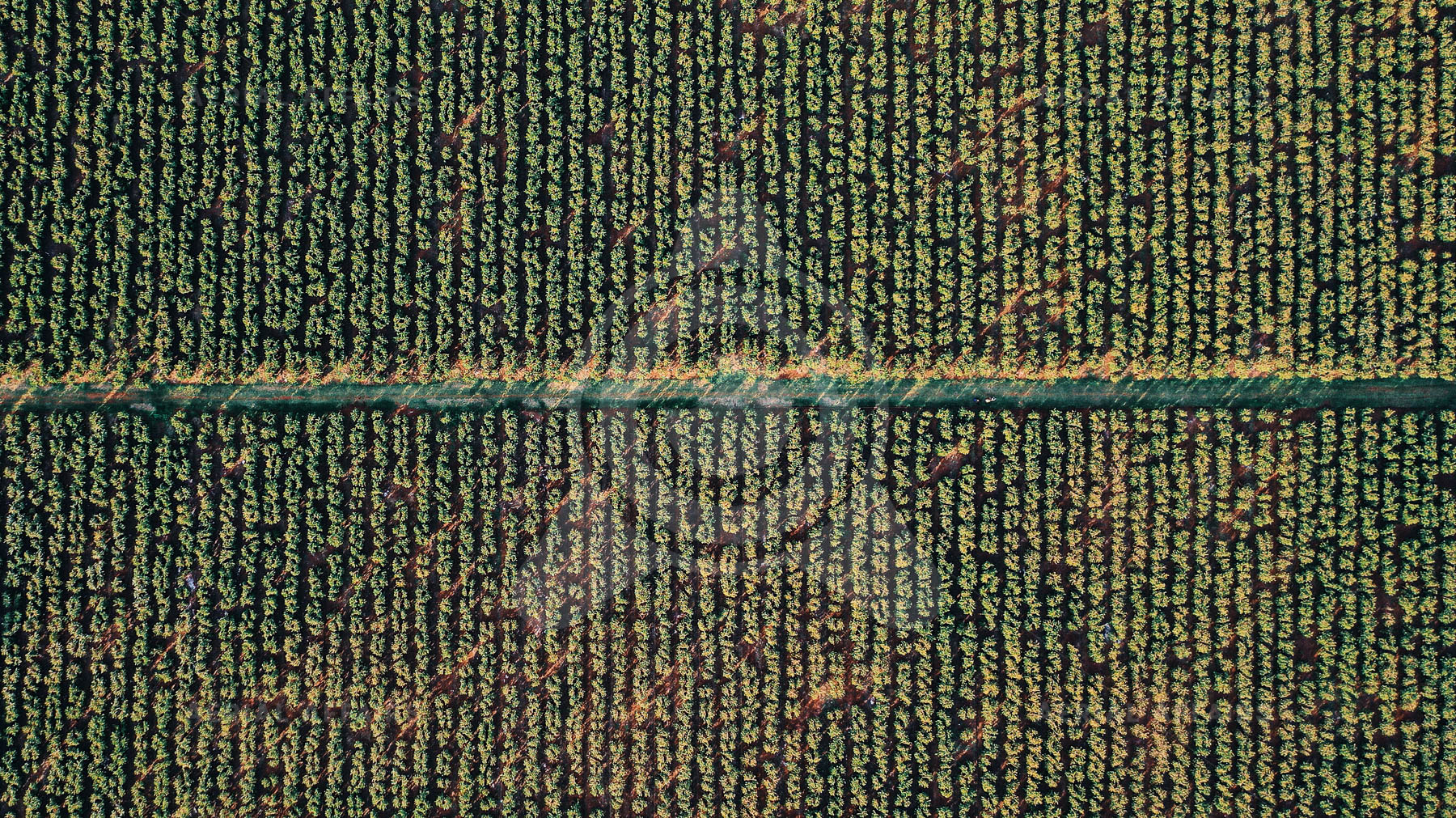
Photogrammetry, maps, 3D models and change detection.
Learn more →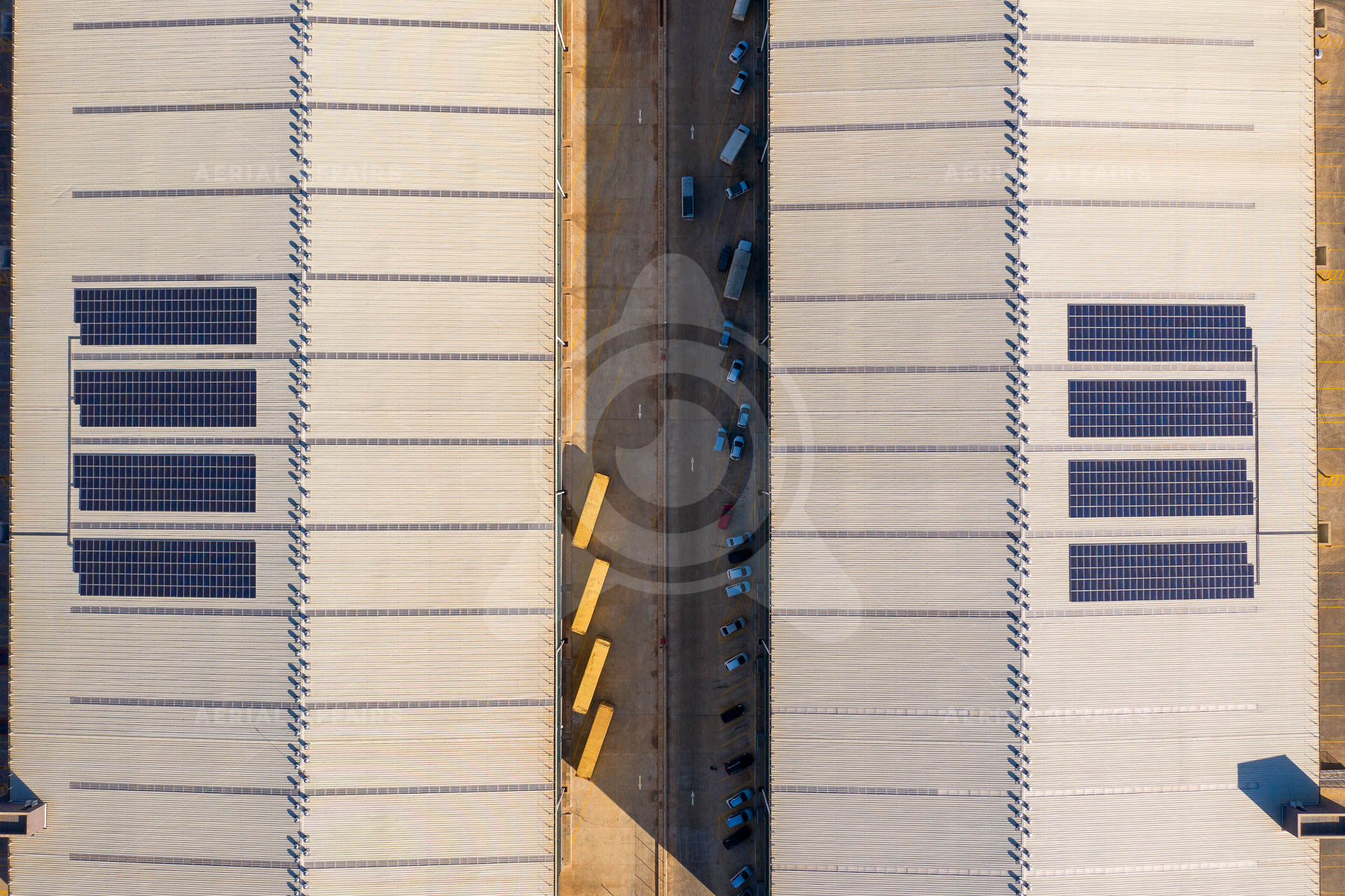
Evaluating and integrating drones, ground robots and sensors.
Learn more →
Feasibility studies, prototypes and joint research.
Learn more →Approach
Now
Data capture, mapping, inspection and monitoring.
Building
Turning that data into maps, asset records and reports.
Next
Testing unmanned platforms, automation and new sensors.
Contact
Projects, tenders, partnerships and research. Tell us what you need.